
When the River Rises: Life, Loss, and the Quest to Predict Floods in South Asia's Great Deltas

Dev Raj Karan Singh
Former MRC Research intern, IIT Madras
Key Highlights
- Five major river deltas- GBM, Mahanadi, Krishna, Godavari, and Irrawaddy- are home to over 200 million people.
- Annual floods displace millions and cause billions in economic losses.
- Computer models help predict where floodwaters will go, but they're not magic.
- Real challenges: data gaps, complex terrain, and unpredictable weather.
- The goal isn't to stop floods, but it's to live with them smarter.
- Flood modelling directly supports Underwater Domain Awareness (UDA) across security, ecology, and blue economy pillars.
Let me tell you about a place that's both a blessing and a curse.
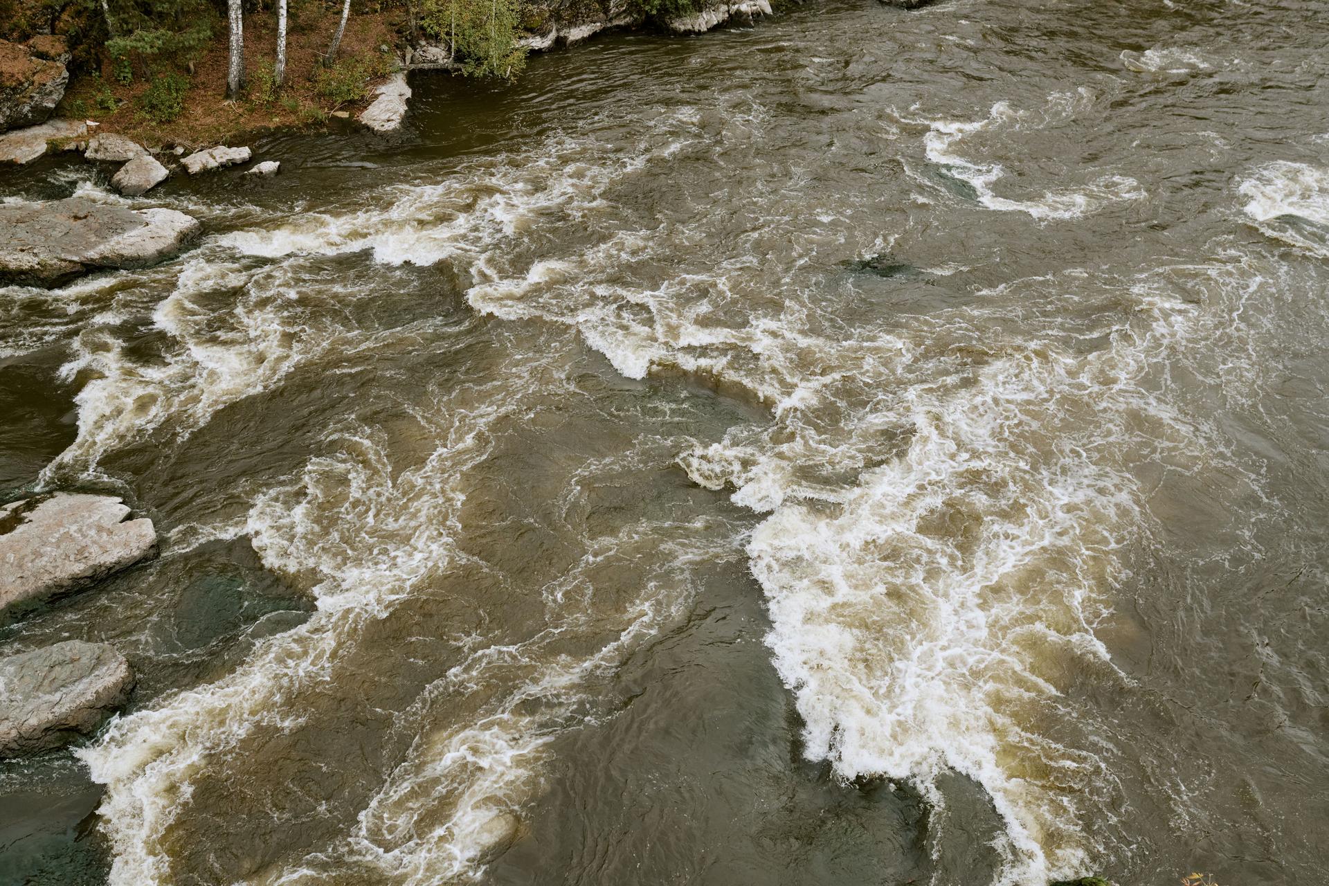
The great river deltas of South Asia- the Ganges-Brahmaputra-Meghna, the Mahanadi, Krishna, Godavari, and Irrawaddy are some of the most fertile lands on Earth. They feed a billion people. They sustain entire civilisations. They are the reason so many of us exist. But they also flood.
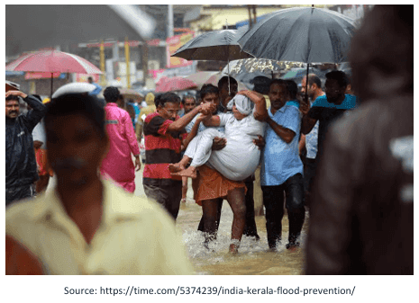
Every year, when the monsoon rains come, these rivers swell beyond their banks. Water spreads across the floodplains, sometimes for hundreds of kilometres. Villages become islands. Fields become lakes. And families who've lived here for generations suddenly find themselves fighting for their lives.
Full Article Content
Sign in to read the complete article.
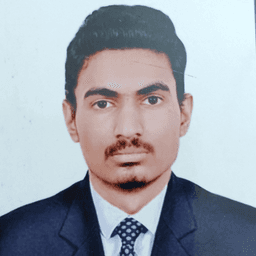
Dev Raj Karan Singh
Former MRC Research intern, IIT Madras
Dev Raj Karan Singh is a B.Tech student in Aerospace Engineering at the Indian Institute of Technology Madras. He is also an intern at the Maritime Research Centre (MRC), Pune, where he is working on the Riverine Flood Module for the 5 Deltas project, which focuses on developing flood inundation models for the GBM, Mahanadi, Krishna, Godavari, and Irrawaddy deltas. His work involves leveraging advanced hydrological models like LISFLOOD-FP to improve flood prediction capabilities and support Underwater Domain Awareness (UDA) initiatives across the Indian Ocean Region.